


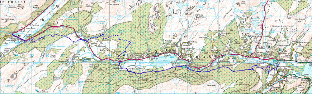
Drumnadrochit TIC to Cannich Village
- Download larger map & elevation chart in pdf format click here!
- STAGE 1 ROUTE DATA
- Start: Loch Ness Hub (57.335243,-4.480301)
- Finish: Cannich Village (57.346602,-4.764508)
- OS Landranger Map: 26 (Inverness & Loch Ness)
- Total Distance: 13.9 miles/22km
- Max Altitiude: 862ft/263m
- Min Altitude: 92ft/28m
- % of Ascent: 46%
- Total Ascent: 1778ft/559m
The reroute project is now complete and all new sections of path are fully open. For updates visit the News page
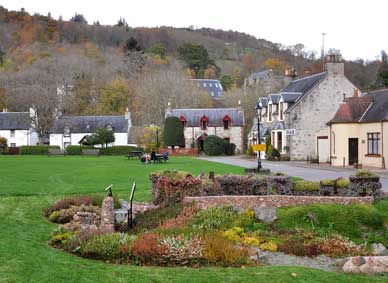
 From the east the start of the Affric Kintail Way is at the Loch Ness Hub. Drumnadrochit - "ridge of the bridge" - is situated at the crossing of the River Enrick on the traditional route between Inverness and the south. Dating from the 12th century one of it's main features is the Telford Bridge built in the early 1800s and replaced shortly afterwards when the original was washed away in a flood. The village green of old was the overnight resting place for sheep and cattle en route to market. Given its location on Loch Ness it is not surprising Drumnadrochit has two Nessie exhibition centres while historic Urquhart Castle is just south of the village at Strone Point.
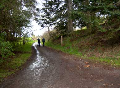
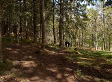
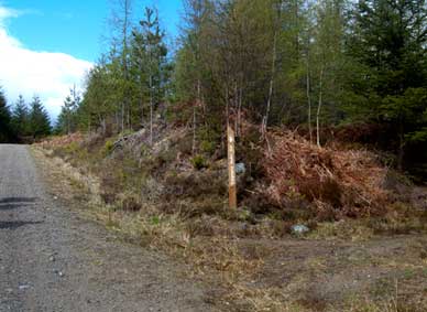
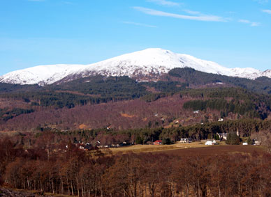
From the TIC head south on the A82 for a couple of hundred meters before turning right into Pitkerrald Road Road (signposted) passing the school entrance on your left and taking the left hand fork at the top of the road. Head for the two large Wellingtonias and just after passing between them turn sharp right into the Craigmonie Woodland. There are several waymarked walks within the woodland - the walk to the site of the ancient fort is well worth a detour - so take care to follow the AKW markers. The route skirts north and then west around Craig Monie staying close to the River Enrick before winding steeply uphill to join the main forestry road through Glenurquhart. There are some nice views to be had of the glen and the small hamlet of Milton and Loch Ness.
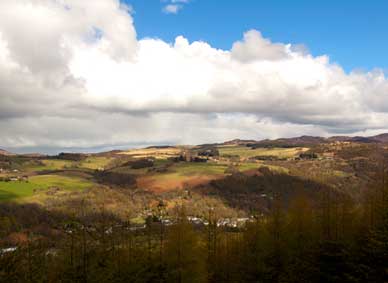
Glenurquhart's modern economy is based around agriculture and forestry, the woodlands being replanted by the Forestry Commission after two world wars had taken its toll of natural timber. In earlier years the Glen boasted a variety of industries such as weaving, cobbling and meal milling. In the mid 19th Century the local population numbered around 3000 but this reduced to around half that a hundred years later although in the past few decades with the expansion of Inverness the Glen has become a popular residential area and the population is on the increase.
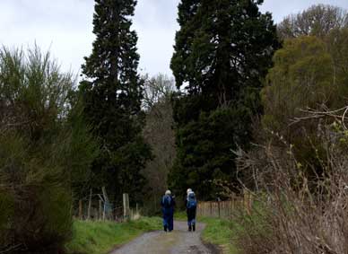
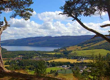
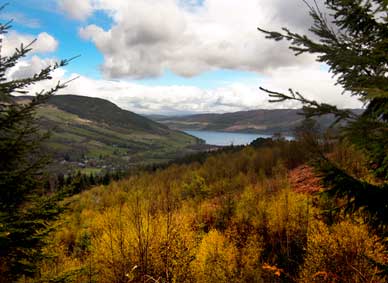
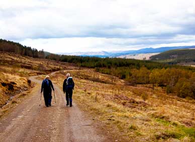
The trail continues along this well maintained forestry road through more open countryside with very pleasant views for some 5km to the FCS car park near the village of Balnain (Town of the Ford) where the River Enrick leaves Loch Meiklie. From here carry on west and this Loch soon comes into view. This part of the route is an area of farm land so please ensure dogs are kept on leads. The track passes through a farm just prior to Shenval so please ensure gates are closed after you and take extra care if cattle are present.
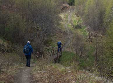
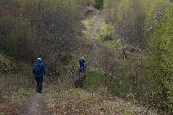
Leaving Shenval by the unlisted road now cross the A831 into the bell-mouth opposite where the route is signposted onto a new section of path which turns uphill. Follow the signposts along stretches of forest road before picking up another new section of path heading downhill. Passing through a set of gates you carry on and exit onto A831 via a single self closing gate. Follow A831 for 200 yards to the new access crossing the windfarm road and enter Dark Deer Croft. After 1.5km cross the burn by a footbridge and heading uphill join the forestry road and follow the sign. Stay on this forest road for roughly 2km then turn right at signpost onto new sections of path heading down to Cannich.
****PLEASE TAKE EXTRA CARE AT THE CROSSING POINTS AND THE SHORT STRETCH ON THE A831 ****
The AKW exits on an unlisted road by the River Glass. Turn right then left onto A831 taking you into Cannich.
While Cannich (place of the bog cotton), or Invercannich, can be found on maps going back several centuries, the development of the village in recent times was mainly due to the Hydro-Electric Schemes dating from the late 1940s. In earlier times Comar was the seat of the Clan Chisholm and there is an association with Bonnie Prince Charlie here as well as at nearby Fasnakyle following the Jacobite defeat at Culloden in 1746.
